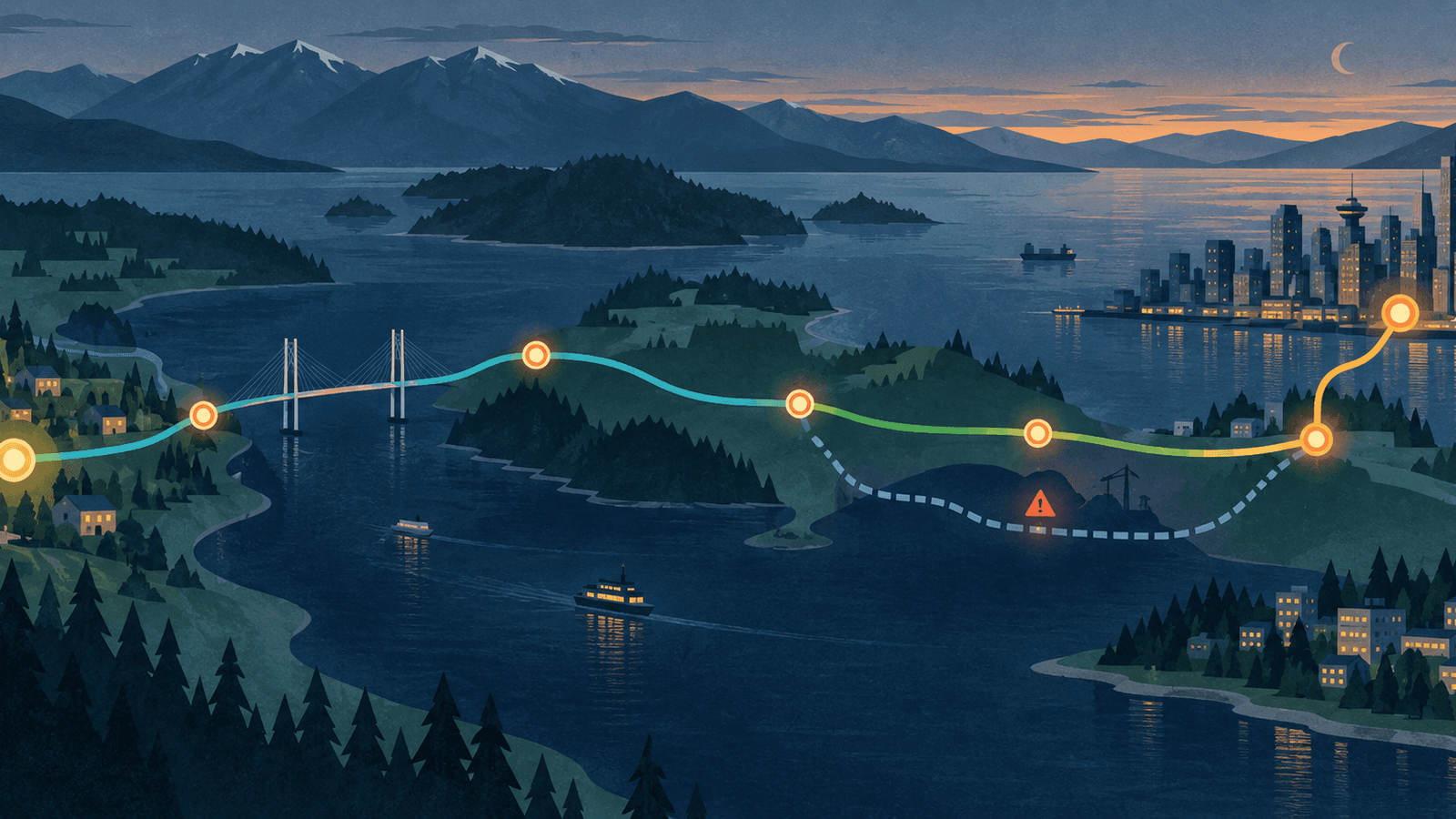

A transit map usually looks like a bowl of coloured noodles. Useful, yes, but incomplete. It shows where vehicles go. It does not show the decisions that make a regional trip easy or brittle: which connection matters most, where the last leg begins, and what to do when the neat line on the screen stops behaving neatly.
Metro Vancouver’s World Cup ridership gives that distinction some scale. On June 24, 2026, TransLink reported nearly 1.4 million boardings and 859,500 trips across the system. It was the network’s highest system-wide daily ridership since March 2020. SeaBus boardings rose by more than 80 per cent compared with what TransLink projected for a typical day.
Those figures are preliminary, first-party operator estimates, not a verdict on everyday service. They also are not a crowd headcount. TransLink defines a boarding as getting onto one transit vehicle, while a trip is the full journey from beginning to end, including transfers. One trip can create several boardings.
That small vocabulary lesson changes how the day should be read. The useful map is not only a set of lines leading downtown. It is a chain of transfers stretching across the region.
The map is a sequence, not a picture
A destination pin encourages a simple question: “Which line gets me there?” Regional travel needs a better one: “Which sequence gets me there, and where can that sequence fail?”
The June 24 release says demand grew across every transit mode, with particularly strong gains on SkyTrain and SeaBus. It names travel to and from BC Place, the downtown fan festival, downtown Vancouver, Lonsdale, and other destinations. In other words, this was not one platform swallowing one queue. People were moving through several modes and several parts of the region.
That does not prove every transfer worked well. It does show why transfers belong at the centre of the mental model. A transfer is where a timetable, walking route, fare rule, platform choice, accessibility need, and service disruption can collide. On a normal diagram it may be one tidy dot. On the ground it is the trip’s hinge.
The practical version of a Metro Vancouver travel map has five layers:
- Destination: the exact entrance or final address, not just the nearest station name.
- Regional spine: the long, legible segment that does most of the distance.
- Transfer nodes: every place where the vehicle, line, platform, or mode changes.
- Last leg: the walk, bus, pickup point, or other connection after the trunk route.
- Fallback: the part of the route that can be replaced without rebuilding the entire trip.
That fifth layer is easy to omit. It is also the one that turns a plan into a decision aid rather than a screenshot.
A transfer-first decision aid
Before leaving, write the trip as a chain:
start → first boarding → transfer → regional spine → transfer → last leg → destination
Then work through this checklist. It is deliberately boring. Boring is excellent when a platform changes or a bus does not arrive when expected.
1. Anchor the destination
- Confirm the exact entrance or meeting point.
- Work backward to the final stop or station.
- Note the final walking direction in plain language.
2. Mark the expensive transfer
- Circle the connection with the longest wait, least frequent service, longest walk, or hardest platform change.
- Give that connection the largest time buffer.
- If missing it would break the trip, identify an earlier departure.
“Expensive” here means costly in time or effort, not necessarily money.
3. Keep one replaceable segment
- Find one alternate stop, station, line, or walking connection.
- Prefer a fallback that rejoins the original route later.
- Avoid creating a backup with more fragile transfers than the main plan.
The goal is not to plan every possible route. It is to avoid having exactly one idea.
4. Check the fare and transfer window
TransLink says Compass Card, Compass Ticket, or contactless-payment users can transfer across bus, SeaBus, SkyTrain, and HandyDART on one fare for up to 90 minutes; West Coast Express journeys have a 120-minute window. Cash paid on a bus does not transfer to SkyTrain, West Coast Express, or SeaBus. These rules can change, so check the official fare page when planning rather than treating this article as a fare table.
5. Refresh, then stop optimizing
TransLink’s Trip Planner shows journey time and transfers, alongside schedules, Next Bus departures, and alerts. Use current information shortly before departure. After that, keep the route readable. Saving three theoretical minutes is rarely useful if it adds another transfer and another place to become confused.
What the big day actually revealed
The tempting story is that a major event proved the whole system works perfectly under pressure. The numbers cannot support that claim. They are aggregate, preliminary operator data. They say nothing about any individual rider’s wait, comfort, accessibility experience, or missed connection. An event spike should not be mistaken for normal service quality.
The more defensible lesson is structural. A regional transit network is not experienced as a coloured line. It is experienced as a series of handoffs. June 24 produced many more boardings than complete trips precisely because a trip can include multiple vehicles. SeaBus’s unusually large increase also makes the water crossing impossible to treat as decorative geography.
The printable checklist above is a way to draw the map that standard diagrams leave out: not only where the network goes, but where a traveller has to decide.
The next time a route looks obvious, count the handoffs instead of the stops. That is usually where the real trip begins.
Sources
- TransLink records highest system-wide ridership in six years — TransLink, June 26, 2026; preliminary first-party operator data.
- Trip Planner — TransLink.
- Transferring and AddFare — TransLink.